
GeoSurvey Pro


Manage survey points and complete professional coordinate, area, traverse, leveling, CAD, quantity, and reporting workflows in one browser workspace.
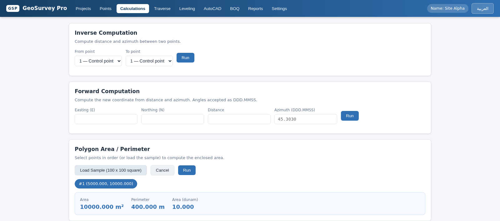
GeoSurvey Pro is an interactive land-surveying workspace built around projects and coordinate points. Users can create a project with a design elevation, enter point numbers, Easting, Northing, elevation, and descriptions, or import records from CSV, TXT, and XLSX files. Calculation panels cover inverse computations for distance and azimuth, forward coordinate computations, and ordered polygon area and perimeter analysis. The navigation also exposes dedicated Traverse, Leveling, AutoCAD, BOQ, Reports, and Settings modules. The interface can switch between English and Arabic and does not require an account for the observed workflows.
Highlights
Project Workspace
Organized survey jobs
Point Management
Import, enter, export
Survey Computation
COGO and polygon tools
Engineering Modules
CAD, BOQ, reports
Bilingual UI
English and Arabic
How to Use
Create a survey project
Open Projects, select New Project, and provide a project name, optional description, and design elevation. After creation, the application activates the project and opens its point workspace.
Add or import coordinate points
In Points, use Add Point to enter the point number, Easting, Northing, elevation, and description, then save the record. For existing field data, use the CSV, TXT, or XLSX import control; the table can also be exported to CSV or XLSX.
Run coordinate calculations
Open Calculations and choose points for an inverse computation, or provide a starting coordinate, distance, and azimuth for a forward computation. Select Run to receive the calculated survey result in the same panel.
Calculate a polygon
Select project points in boundary order or load the provided square sample in the Polygon Area and Perimeter panel. The result displays enclosed area, perimeter, and the converted area in dunam.
Continue the engineering workflow
Use the Traverse, Leveling, AutoCAD, BOQ, and Reports navigation entries for the corresponding project tasks. Settings and the Arabic language control provide workspace configuration and localization options.
Similar Sites
 27
27SGI CONTROL
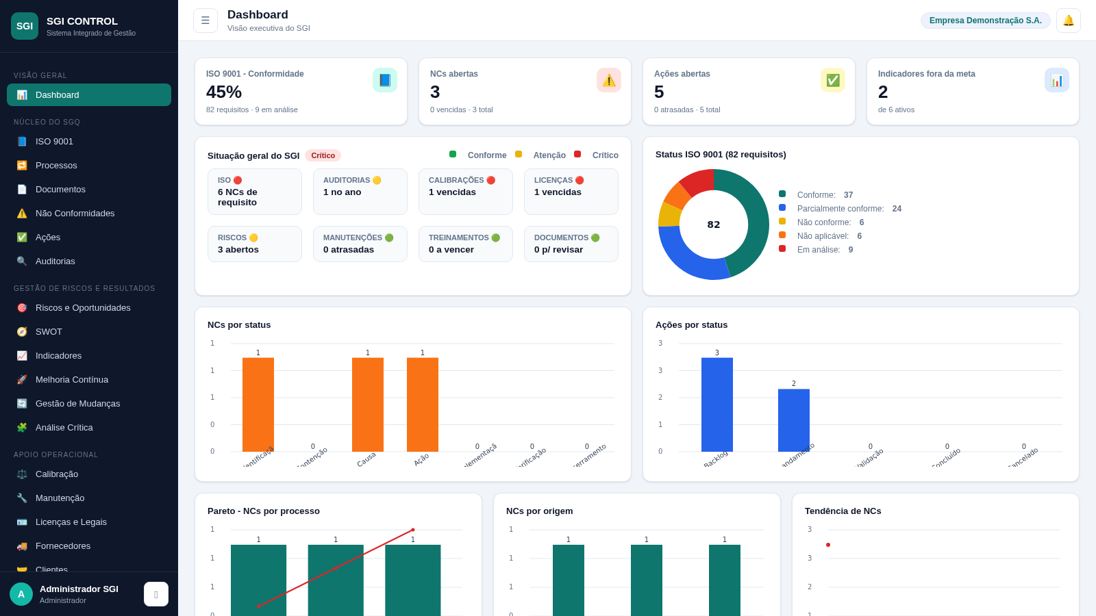
Sistema Integrado de Gestão da Qualidade (ISO 9001) com painel B2B multiempresa
 30
30TOURFECTO B2B
 27
27Warranty Manager
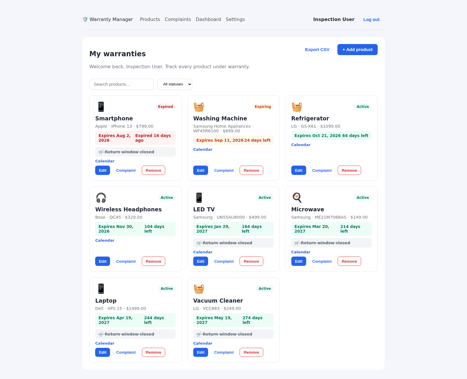
Track product warranties, expiry reminders, and full complaint lifecycles
 27
27Controle de Estoque
Entrada e saída de materiais com baixa automática do estoque
 25
25GDPR Compliance Agent
GDPR compliance dashboard with data mapping, DPIA, DSAR, and vendor risk
 22
22Tunisia ERP Commercial
Gestion commerciale: ventes, achats, factures, stock, clients - dinar tunisien AR/FR